
RV Parks in Colorado
Colorado RV trips run on altitude: mountain towns are at their best from late spring to early fall, while the Front Range and the western canyons stretch the season on either side. Use the map to find an area, then open its guide for parks, rates and tips.
Colorado · Centennial State
Areas
12 on the map
1 with guides so far
Park guides
11
All in the Durango area
Elevation
3,317–14,440 ft
Plains to fourteeners
Seasons
May–Oct
Front Range parks open longer
Updated October 20, 2026 · Park details checked against each park’s website
Pick your area
Explore Colorado by area
Choose an area to see when to go and what’s there. Areas with guides link straight to their RV parks, and more are on the way.
Park guides availableComing soon
High country
Durango
The narrow-gauge railroad, the Animas River and San Juan forest camping, under an hour from Mesa Verde.
See Durango RV parksThe narrow-gauge railroad, the Animas River and San Juan forest camping, under an hour from Mesa Verde.
Ancestral Puebloan cliff dwellings, with Morefield Campground inside the national park.
Hot springs and jeep trails in the San Juans. The Million Dollar Highway (US-550) is steep and narrow.
Wildflower meadows, Blue Mesa Reservoir and the Black Canyon of the Gunnison nearby.
Arkansas River rafting, hot springs and 14,000-ft peaks in the Collegiate range.
Colorado National Monument, Palisade orchards and wineries, and desert trails off I-70.
Hot springs pools and Glenwood Canyon along I-70 on the Colorado River.
A ski town with summer river tubing, hot springs and mountain biking.
The gateway to Rocky Mountain National Park, with elk in town and Trail Ridge Road open in summer.
Mile High City RV parks with Red Rocks, the foothills and I-70 into the mountains.
Garden of the Gods, Pikes Peak and the Air Force Academy, with a milder climate than the mountains.
North America’s tallest dunes, with Piñon Flats Campground inside the national park.
Latest guides
Newest RV park guides
Full guides with nightly rates, site types, review scores, directions and what’s nearby.
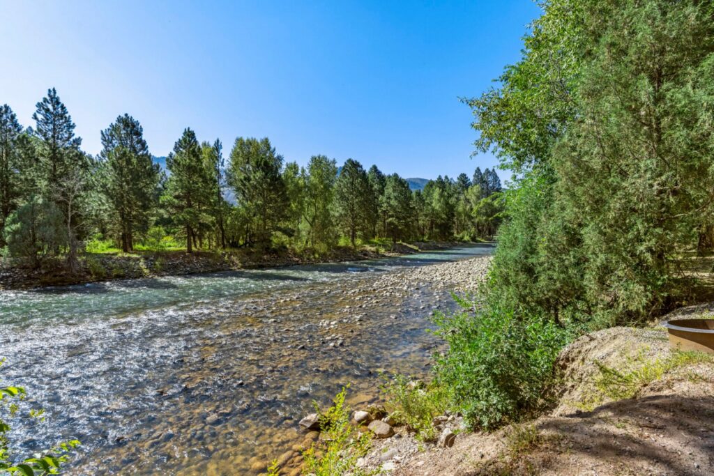
JW Durango Riverside Resort
Riverfront full-hookup sites on the Animas River, with a pool, café and stocked pond.

Haviland Lake Campground
A lakeside Forest Service campground with 17 electric sites and trout fishing.
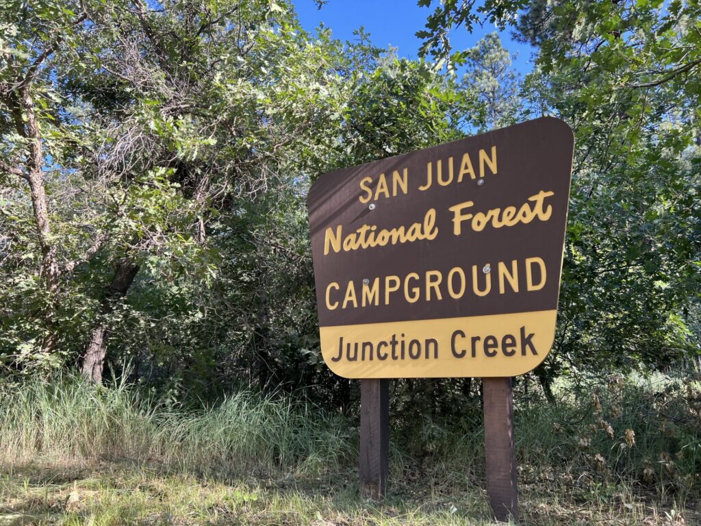
Junction Creek Campground
Electric sites in the ponderosa pines, room for 60-ft rigs and the Colorado Trail nearby.
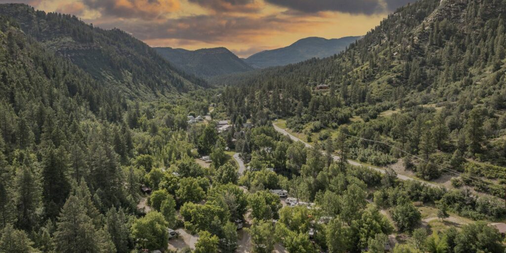
HTR Durango Campground
Wooded creek and canyon sites in a quiet box canyon, with full hookups and cabins.

Outdoorsy Bayfield
Gravel full-hookup sites on 36 acres along the Pine River, with trout ponds and trails.

Madden Peak Road Dispersed Camping
Free dispersed camping in the pines and aspens between Durango and Mancos.
Thank you to the people behind these photos. Please support them by following along and giving their work a look. Park photos: JW Durango Riverside; Haviland Lake Campground and Junction Creek Campground: U.S. Forest Service (public domain); HTR Durango; Outdoorsy Bayfield; Madden Peak Road Dispersed Camping: video still from Straight Trippin on YouTube. Header photo: Mike McBey on Wikimedia Commons (CC BY 2.0). Map outline from the U.S. Census Bureau; interstates from Natural Earth.
Disclaimer
RV-Roundup is an independent, community-based resource created to help RV travelers and to support and promote the parks we feature. RV-Roundup is not owned by, operated by, or officially affiliated with the parks or areas listed on this page unless otherwise stated.
The information on this page was prepared using the most current details available at the time of publication, including each park’s published materials and publicly available sources. Seasons and elevations are general guides; pricing, availability, rules, policies, amenities and other details are set by each park and may change at any time without notice. Before you travel or book, please confirm all details directly with the park. RV-Roundup is not responsible for errors, omissions, or changes made after publication. The map is approximate and not for navigation.
We will always do our best to keep this page up to date. Thank you to everyone who contributes; we truly appreciate your help and support.