RV Parks in Wyoming
Wyoming is a summer RV state: Grand Teton and Yellowstone in the northwest, the Wind River and Bighorn ranges in the middle and wide-open plains along I-80 and I-90. Use the map to find an area, then compare the Jackson Hole and Grand Teton parks below.
Wyoming · Grand Teton National Park & Jackson Hole
Areas
12 on the map
1 with guides so far
Park guides
10
All in Jackson Hole & Grand Teton
Elevation
3,099–13,804 ft
Belle Fourche River to Gannett Peak
Seasons
May–Oct
Most park campgrounds close for winter
Updated October 12, 2026 · Park details checked against each park’s website
Pick your area
Explore Wyoming by area
Choose an area to see when to go and what’s there. Jackson Hole and Grand Teton have park guides now, and more areas are on the way.
Park guides availableComing soon
National parks
Jackson Hole & Grand Teton
Grand Teton National Park, Jackson Lake and the town of Jackson, with RV parks and campgrounds from Flagg Ranch down to Teton Valley.
See Jackson Hole & Grand Teton RV parksGrand Teton National Park, Jackson Lake and the town of Jackson, with RV parks and campgrounds from Flagg Ranch down to Teton Valley.
Old Faithful, geyser basins and wildlife. In-park campgrounds book up early, and most park roads close to cars in winter.
Summer rodeo nights, the Buffalo Bill Center of the West and the scenic drive to Yellowstone’s East Entrance.
Free soaks at the state bathhouse in Hot Springs State Park and the Wyoming Dinosaur Center.
The Wind River Range, Sinks Canyon State Park and trailheads into the high country.
Glacial lakes and trailheads on the west side of the Wind River Range, on US-191 south of Jackson.
Red canyon walls and boating on Flaming Gorge Reservoir, south of Green River and Rock Springs.
A western main street at the foot of the Bighorn Mountains, right on I-90.
The country’s first national monument, rising above the Belle Fourche River near the Black Hills.
The North Platte River, Casper Mountain trails and the National Historic Trails Interpretive Center.
A college town on I-80, with the Snowy Range Scenic Byway and Vedauwoo’s granite nearby.
Cheyenne Frontier Days every July, the capitol and an easy stop where I-25 meets I-80.
Where to stay
Grand Teton & Jackson Hole RV parks and campgrounds
Each park has a full guide with nightly rates, site types, review scores, directions and what’s nearby.
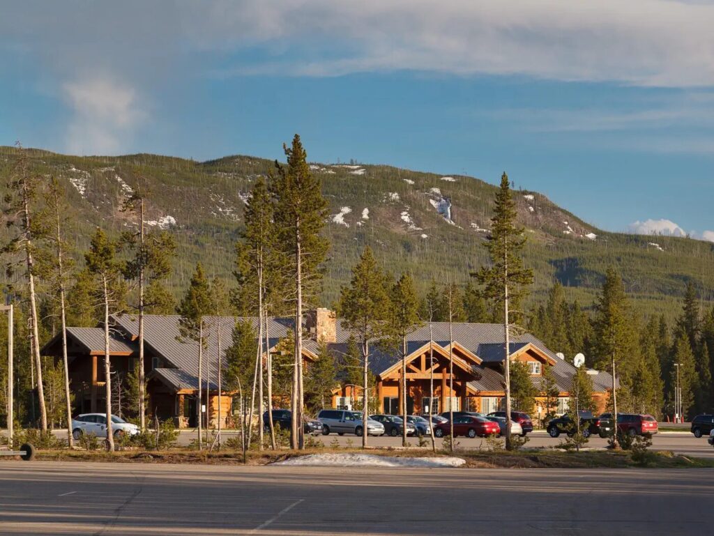
Headwaters Campground at Flagg Ranch
Full-hookup pull-throughs between Grand Teton and Yellowstone, minutes from the South Entrance.
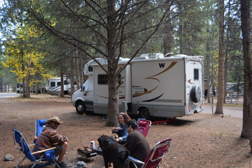
Colter Bay RV Park
The only full-hookup RV park inside Grand Teton, with 112 wooded sites a short walk from Jackson Lake.
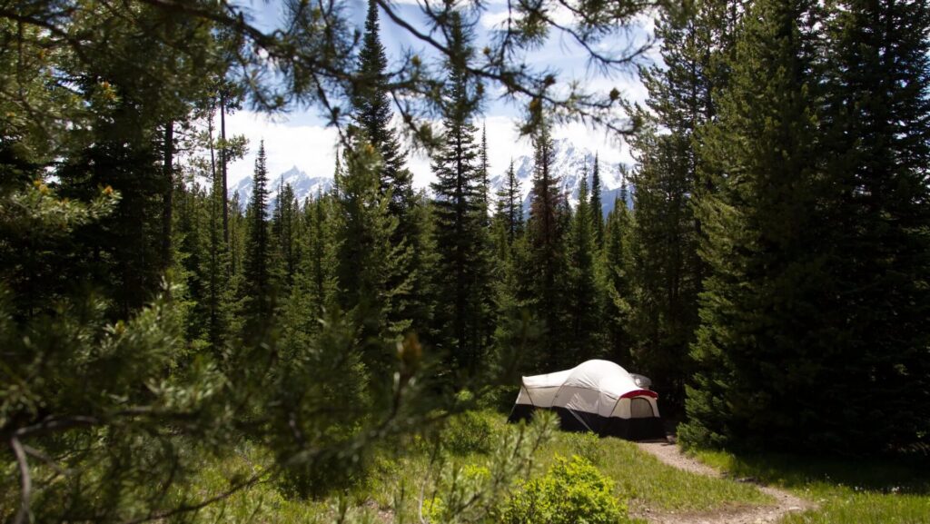
Colter Bay Campground
The big no-hookup campground in Colter Bay Village, with a free dump station and generator loops.
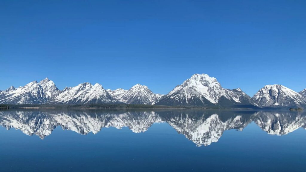
Signal Mountain Campground
A lakeside campground on Jackson Lake with electric sites and Teton views, for rigs up to 30 ft.
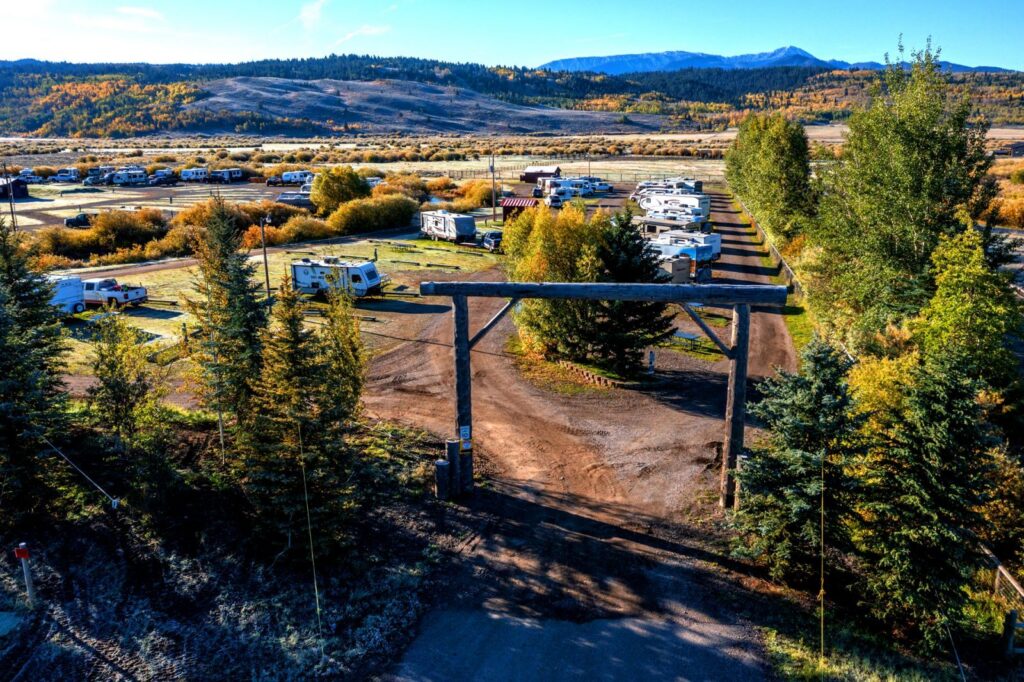
Fireside Buffalo Valley RV Park
A big full-hookup park in Buffalo Valley, 5 miles east of Grand Teton’s Moran entrance.
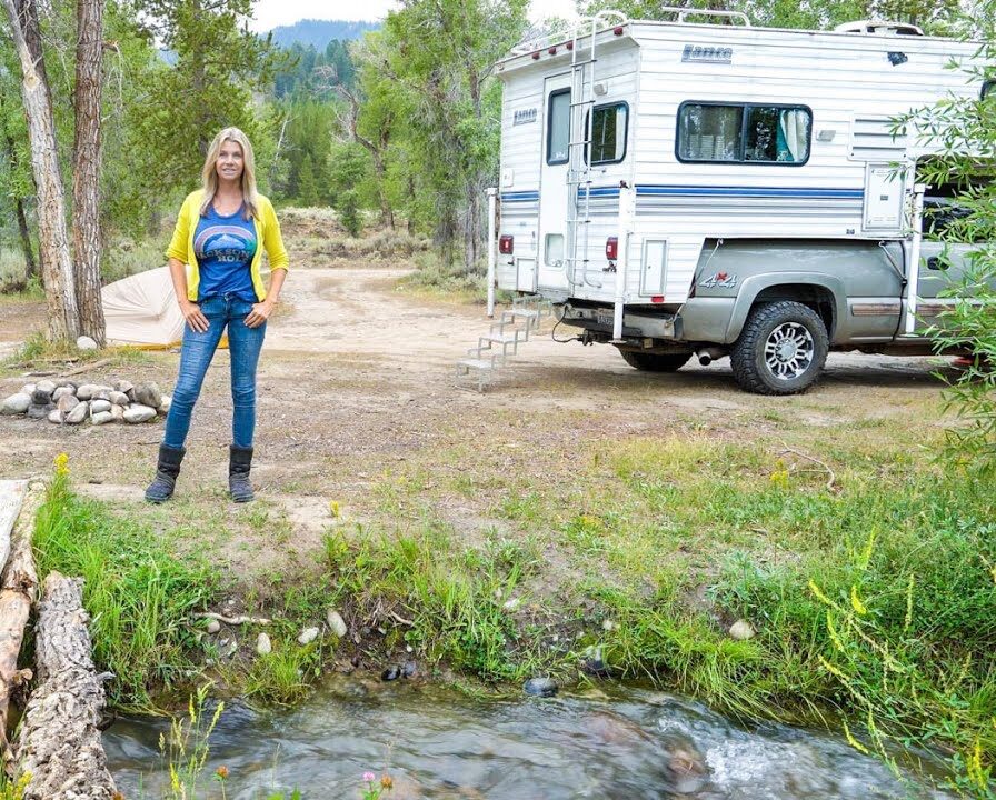
Spread Creek Dispersed Camping
Free designated Forest Service sites east of Grand Teton, with Teton views and a 5-night summer limit.
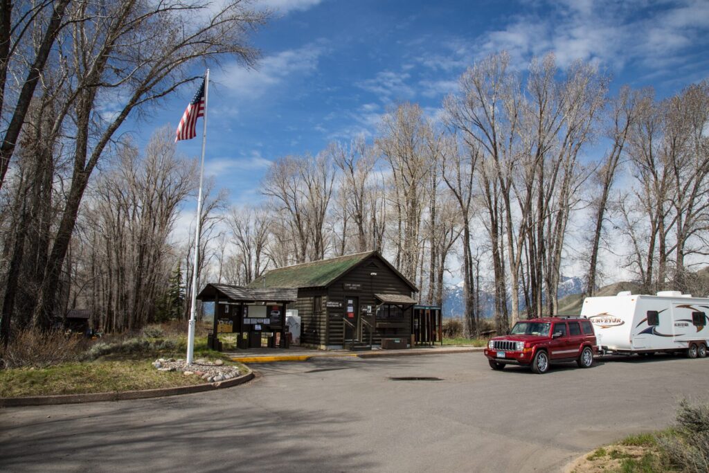
Gros Ventre Campground
Grand Teton’s biggest campground, near Jackson, with dry and electric sites by the Gros Ventre River.
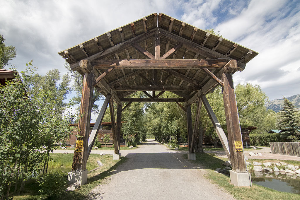
Fireside Resort Jackson Hole
Full-hookup RV sites in Wilson, between Jackson and Teton Village, with electric-only winter sites.
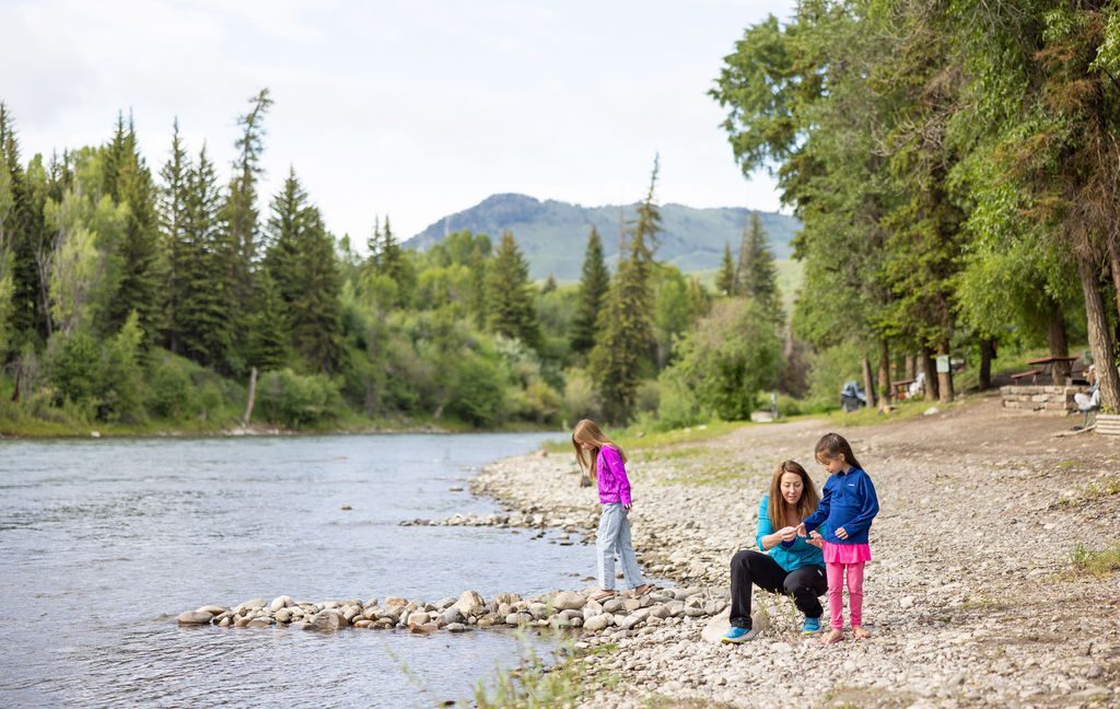
Snake River Cabins & RV Village
Small full-hookup sites (up to 30 ft) on the Snake River south of Jackson, next to the pathway.
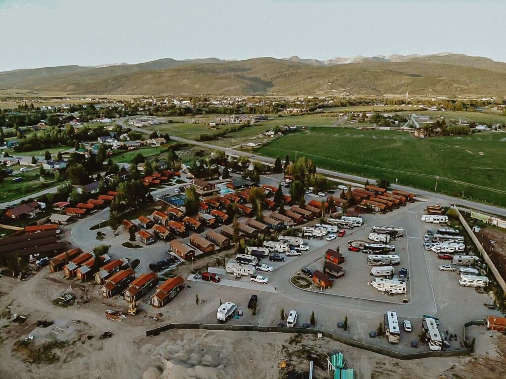
Teton Valley RV Resort
Full hookups on level concrete pads in Victor, Idaho, with a pool, pickleball and the quiet side of the Tetons.
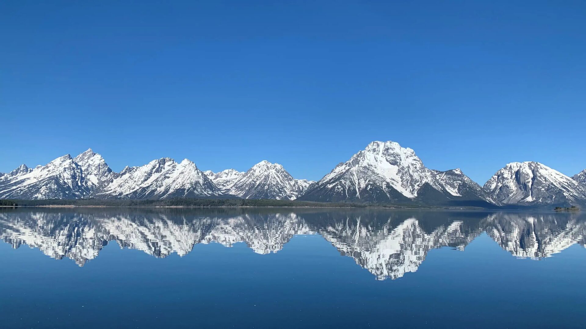
Thank you to the people behind these photos. Please support them by following along and giving their work a look. Park photos: Grand Teton Lodge Company (Headwaters, Colter Bay RV Park and Colter Bay Campground), Signal Mountain Lodge (Signal Mountain, and the Jackson Lake photo at the top of this page), Fireside Buffalo Valley RV Park, Fireside Resort Jackson Hole, Snake River Cabins & RV Village and Teton Valley RV Resort. The Gros Ventre photo is from the National Park Service (public domain), and the Spread Creek card is a video still by Catherine Gregory on YouTube. Map outline from the U.S. Census Bureau; highways drawn by RV-Roundup from approximate town locations.
Disclaimer
RV-Roundup is an independent, community-based resource created to help RV travelers and to support and promote the parks we feature. RV-Roundup is not owned by, operated by, or officially affiliated with the parks listed on this page unless otherwise stated.
The information on this page was prepared using the most current details available at the time of publication, including each park’s published materials and publicly available sources. Pricing, availability, rules, policies, regulations, amenities and other details are set by each park and may change at any time without notice. Before you travel or book, please confirm all details directly with the park. The map is approximate and not for navigation. RV-Roundup is not responsible for errors, omissions, or changes made after publication.
We will always do our best to keep this page up to date. Thank you to everyone who contributes; we truly appreciate your help and support.