Things to Do in California
California has something to do every month: the coast is mild all year, the mountains open up in summer and the desert is at its best in winter. Use the map to pick an area, then open its guide for hours, fees and RV parking tips.
California · Golden State
Areas
15 on the map
4 with guides so far
Attraction guides
28
Crescent City, Redding, Anaheim & San Diego
Elevation
−282–14,505 ft
Death Valley to Mount Whitney
Seasons
Year-round
Coast all year, mountains in summer
Updated October 31, 2026 · Each guide covers hours, admission and RV parking
Pick your area
Explore California by area
Choose an area to see when to go and what’s there. Areas with guides link straight to their attractions, and more are on the way.
Guides availableComing soon
San Diego
The San Diego Zoo, Balboa Park, the USS Midway, Old Town, La Jolla Cove and sunset views at Cabrillo and Sunset Cliffs.
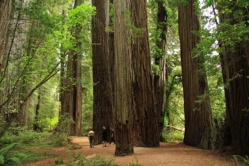
See things to do in San DiegoLighthouse tours at Battery Point, redwood drives on Howland Hill Road, Jedediah Smith Redwoods State Park and a busy working harbor.
Victorian Old Town, Humboldt Bay and the Avenue of the Giants south of town.
The glass-decked Sundial Bridge, Turtle Bay, Shasta Dam tours, Lake Shasta Caverns and the lakes and waterfalls of Whiskeytown.
Alpine lakes, waterfalls and mountain trails below the peak, with cool summer nights just off I-5.
Clear-water beaches, scenic drives around the lake and summer trails in the surrounding mountains.
The Golden Gate Bridge, Alcatraz and Fisherman’s Wharf, with Muir Woods and wine country close by.
Yosemite Valley’s waterfalls, Glacier Point and giant sequoia groves. Summer is the busiest season, so plan ahead.
High lakes and trout streams along US-395, with Mono Lake nearby.
Monterey Bay, Carmel and the start of the Big Sur drive on Highway 1.
The Oceano Dunes, the pier and wintering monarch butterflies, with Central Coast wine country nearby.
Disneyland and Disney California Adventure, Downtown Disney, Angels games, the Anaheim Packing House and quiet regional parks.
The San Diego Zoo, Balboa Park, the USS Midway, Old Town, La Jolla Cove and sunset views at Cabrillo and Sunset Cliffs.
The aerial tramway, desert hikes, hot springs and mid-century architecture in the Coachella Valley.
Boulder scrambles, Joshua tree forests and dark night skies in the national park.
Furnace Creek sits about 190 ft below sea level. Summer heat is extreme, so plan for winter.
Latest guides
Newest things-to-do guides
Full guides with hours, admission, time needed, RV parking and what’s nearby.
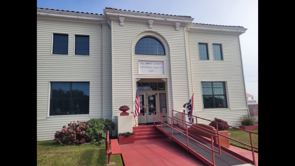
Del Norte County History Museum
See a 1st-order Fresnel lens from St. George Reef Lighthouse, Tolowa and Yurok baskets and the old jail cells in Crescent City’s 1926 county jail, now a volunteer-run museum.
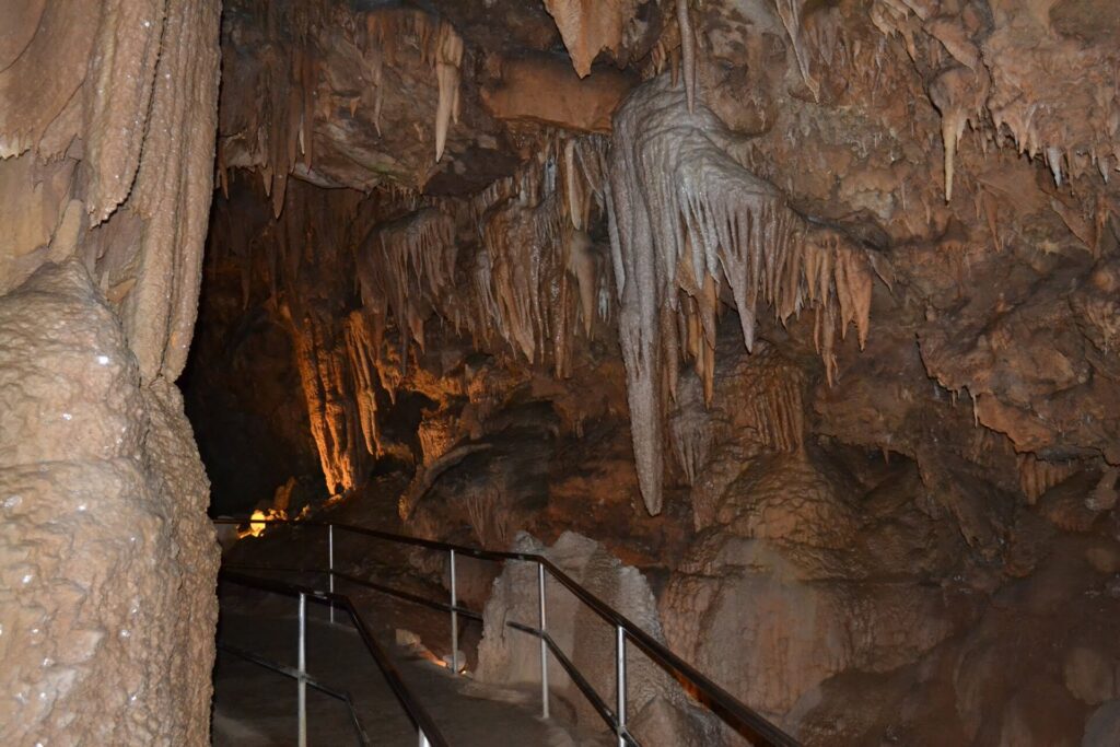
Lake Shasta Caverns
A two-hour adventure north of Redding: cross the McCloud Arm of Shasta Lake by boat, ride a bus up to caverns 900 feet above the lake, then tour limestone chambers full of stalactites and drapery.
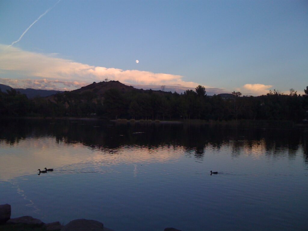
Yorba Regional Park
Four connected lakes, shady picnic grounds and bike paths to the Santa Ana River Trail, a few minutes from Canyon RV Park.

Crescent City Harbor
Watch sea lions and seals on the docks, see the crab boats come in and walk the Coastal Trail along a rebuilt working harbor, free and just off US-101.
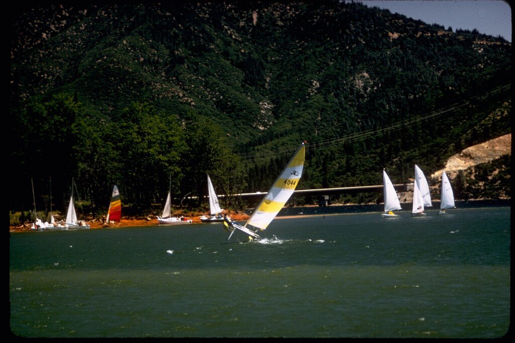
Whiskeytown National Recreation Area
A 42,000-acre national recreation area 8 miles west of Redding, with a 3,200-acre lake, swim beaches, four waterfalls and miles of trails.

Pearson Park
Anaheim’s first city park, from 1927: duck ponds, a historic cactus garden and a Spanish-style amphitheatre with summer shows.
Thank you to the people behind these photos. Please support them by giving their work a look. Photos: Del Norte County History Museum: Brimstone667 on YouTube; Lake Shasta Caverns: Oleg Alexandrov on Wikimedia Commons (CC BY-SA 4.0); Yorba Regional Park: David Lofink on Wikimedia Commons (CC BY 2.0); Crescent City Harbor: Carol M. Highsmith, Library of Congress, via Wikimedia Commons (public domain); Whiskeytown National Recreation Area: National Park Service on Wikimedia Commons (public domain); Pearson Park: Ken Lund on Wikimedia Commons (CC BY-SA 2.0). Header photo (Jedediah Smith Redwoods State Park): Chmee2 on Wikimedia Commons (CC BY-SA 3.0). Map outline from the U.S. Census Bureau; roads from OpenStreetMap contributors.
Disclaimer
RV-Roundup is an independent, community-based resource created to help RV travelers and to support and promote the places we feature. RV-Roundup is not owned by, operated by, or officially affiliated with the attractions, businesses or areas listed on this page unless otherwise stated.
The information on this page was prepared using the most current details available at the time of publication, including each attraction’s published materials and publicly available sources. Seasons and elevations are general guides; pricing, availability, rules, policies, amenities and other details are set by each attraction or operator and may change at any time without notice. Before you travel or book, please confirm all details directly with the attraction. RV-Roundup is not responsible for errors, omissions, or changes made after publication. The map is approximate and not for navigation.
We will always do our best to keep this page up to date. Thank you to everyone who contributes; we truly appreciate your help and support.