
Redding · Sacramento River · Paved national recreation trail
Sacramento River Trail
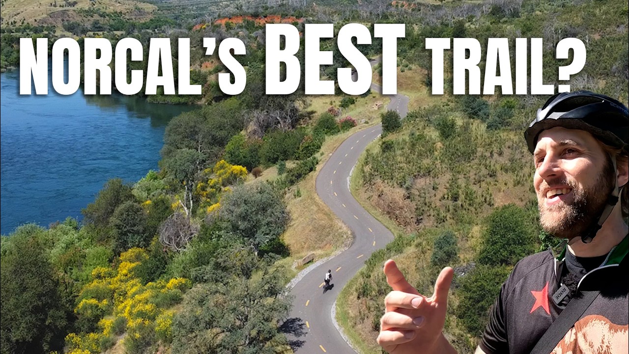
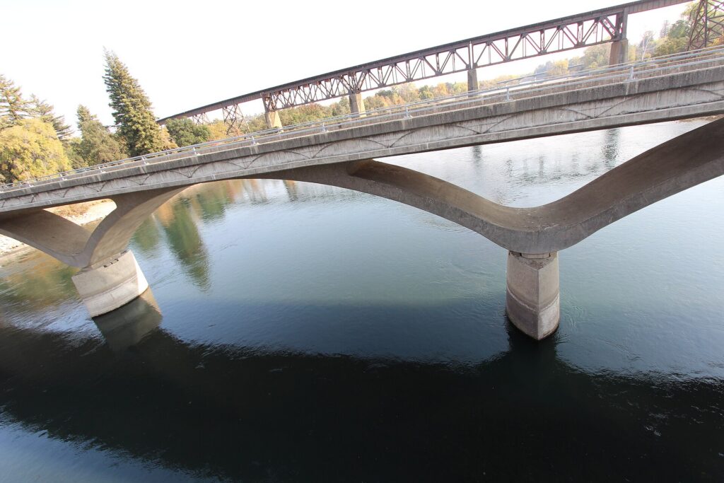
Redding’s signature paved path follows the Sacramento River past the Sundial, Diestelhorst and Stress Ribbon bridges and links to the Rail Trail toward Shasta Dam. It’s free for walkers, runners and cyclists.
Opens Visit Redding’s Sacramento River Trail page, with route maps for the most popular loops.
Details checked October 2026
Type
Paved river trail
Walk, run, bike or roll
Admission
Free
No fee to use the trail
Hours
Year-round
Best early or late on summer days
Time needed
About 2 hrs
For the roughly 6-mile main loop
Parking
Several trailheads
Turtle Bay has an RV overflow lot
Trail length
12.3 mi
City trail on both banks, per Rails to Trails
What you’ll see
Three bridges and a river
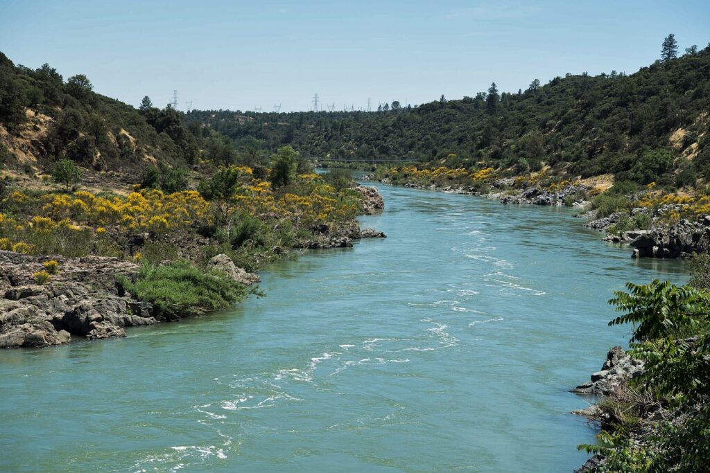
The trail loops along both banks of the Sacramento River through Redding’s parks, crossing historic and modern bridges as it goes.
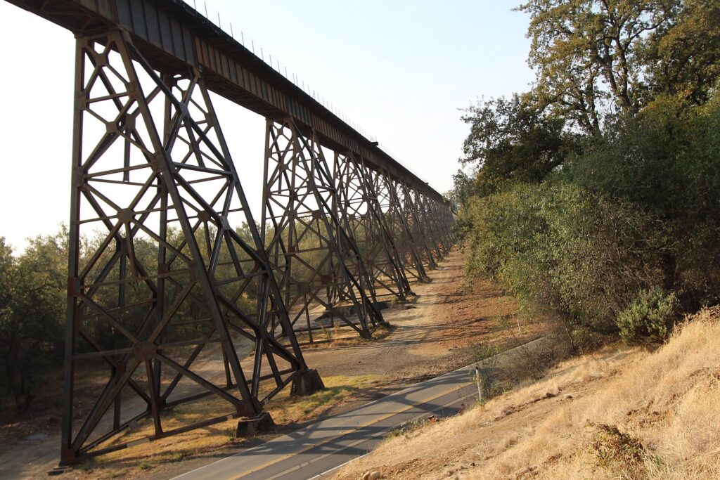
Photo: Jonmallard on Wikimedia Commons (CC BY-SA 4.0)
Start here
The main loop
The classic outing starts near Caldwell Park and the Diestelhorst Bridge and follows both banks upriver to the Stress Ribbon Bridge below Keswick Dam. The loop is roughly 6 miles, an easy couple of hours on foot, and most of the paved trail system has a grade of 5% or less.
RV tip: past the Sacramento River Trail Bridge the path climbs about 250 feet in a mile toward Keswick Dam, so cross the ribbon bridge and head back if you want the flat version.
More to see
- Sundial BridgeThe glass-deck pedestrian bridge at Turtle Bay is the trail’s downtown entrance and one of the largest working sundials in the world.
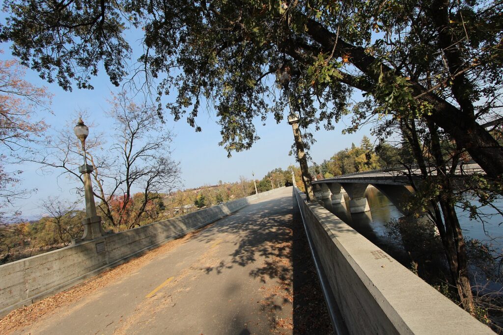
- Diestelhorst BridgeA century-old bridge reserved for trail users, linking the north and south banks near Caldwell Park.
- Stress Ribbon BridgeThe concrete footbridge below Keswick Dam where the main loop crosses the river. Its design won awards from the Portland Cement Association and the California Parks and Recreation Society.
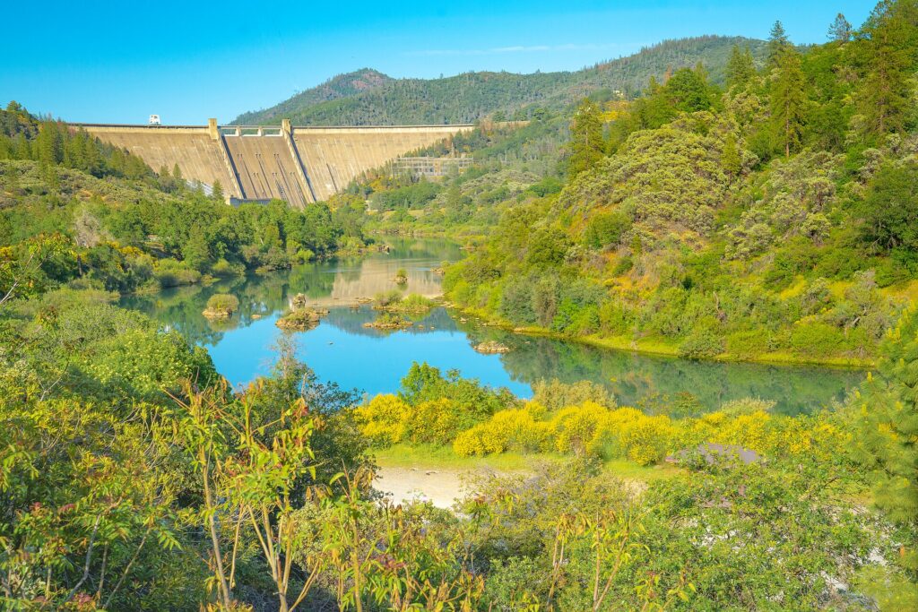
- Sacramento River Rail TrailPast Keswick Dam, the 11.1-mile Rail Trail follows Keswick Reservoir north toward Shasta Dam, with a historic train tunnel along the way.
Why go
A Hall of Fame trail through the middle of town
In 2023 the Sacramento River Trail and its sister Sacramento River Rail Trail entered the Rails to Trails Conservancy’s Hall of Fame by public vote. Together they form a paved artery of more than 20 miles that ties into a 200-mile-plus network of mostly dirt trails around Redding.
For RVers it’s the easy, free outing on a travel day. Park at Turtle Bay, where RVs and trailers have a dirt overflow lot, and walk across the Sundial Bridge to join the trail, or start at Caldwell Park, about 5 minutes from Boulder Creek RV Resort. Redding’s bikeshare has stations at the Sundial Bridge and Diestelhorst Bridge if you didn’t bring bikes.
Visit Redding says walkers often spot deer, river otters and eagles along the way. Summer afternoons are hot, so go early or late and carry water; on the Rail Trail past Keswick Dam, the BLM says potable water is only available near the northernmost trailhead.
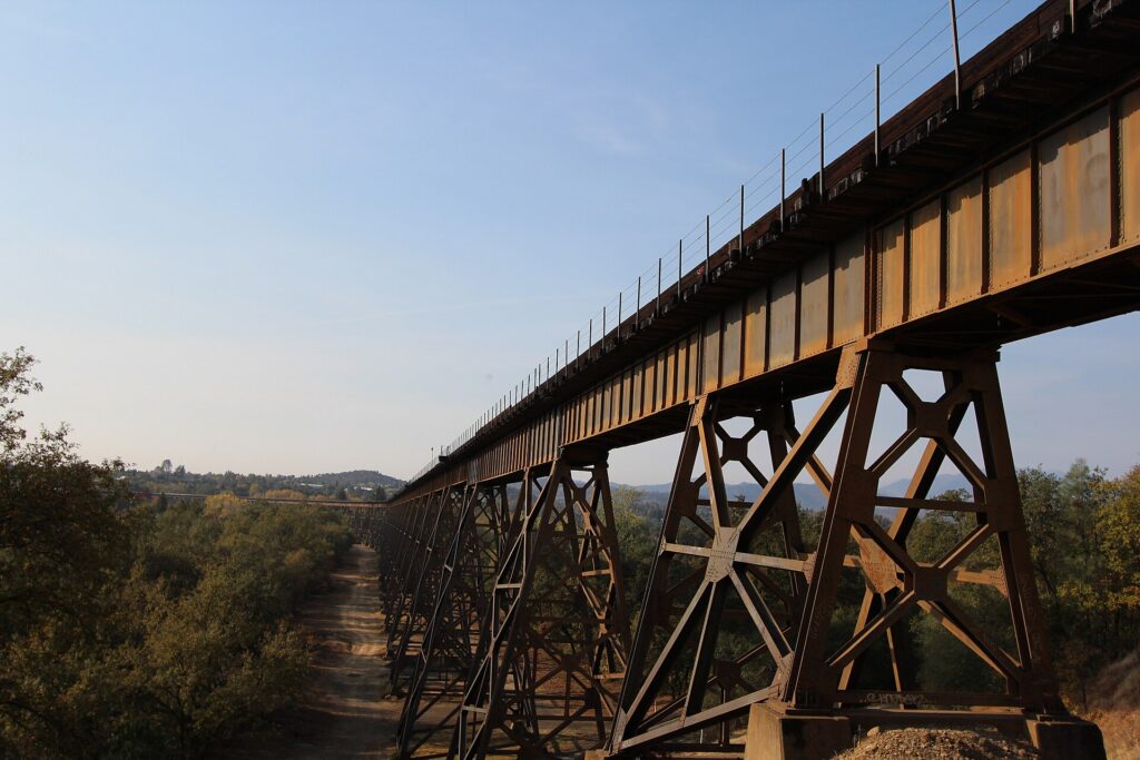
Photo: Jonmallard on Wikimedia Commons (CC BY-SA 4.0)
Why it made our list
- Free, paved and wheelchair accessible
- Three landmark bridges on one loop
- Bikeshare stations along the way
- A link to the Rail Trail toward Shasta Dam
- RV overflow parking at the Turtle Bay trailhead
For RVers
Hitting the trail from an RV
The practical stuff we wished someone had told us before we pulled in.
Park at a big lot
The easiest RV parking is at Turtle Bay, which encourages RVs and trailers to use its large dirt overflow lot next to the Sundial Bridge lot. Smaller trailhead lots, such as the ones at both ends of the Diestelhorst Bridge on Benton Drive, are better suited to the tow vehicle.
Dogs on a leash
Leashed dogs are an allowed use on the trail, and Turtle Bay requires leashes on the river trails and the Sundial Bridge. The pavement heats up fast in summer, so walk dogs early and bring water for them too.
Share the path
Walkers, runners, cyclists and skaters all use the trail, and motorized vehicles such as dirt bikes and off-road vehicles are prohibited. Keep right, call out or ring a bell before passing, and slow down on the bridges.
Plan water and shade
The in-town loop passes parks with restrooms, but stretches beyond Keswick Dam are more remote, and potable water on the Rail Trail is only near the Shasta Dam trailhead. Carry more water than you think you need.
What visitors say about Sacramento River Trail
The visitor report card
We don’t copy other sites’ reviews, but the published scores are worth reading together. Scores checked October 24, 2026.
Favorite bike path in the world.
Pro runner Sara Hall, quoted by Visit Redding · visitredding.com

What the trail is known for
From Visit Redding and Rails to Trails Conservancy
Smooth pavementRiver viewsWildlifeBridges
Visit Redding describes a smooth, shaded path where walkers spot deer, river otters and eagles, and Rails to Trails points to its bridges, wildlife viewing and interpretive signs. Checked October 24, 2026.
Miles from the Sundial Bridge
Approximate trail miles heading west from the Sundial Bridge, from the Great Runs route guide. Distances vary slightly by source.
Good to know
CostFree no admission
SurfacePaved mostly 5% grade or less
Main loopAbout 6 mi about 2 hours on foot
AllowedWalkingBikes & e-bikesSkatingLeashed dogs
From Rails to Trails Conservancy, Visit Redding and the National Recreation Trails database, checked October 24, 2026.
Know before you go
Plan your visit
Sacramento River Trail
- TrailheadCaldwell Park, Quartz Hill Rd., Redding, CA 96003
- HoursYear-round
Best early or late on summer days - Phone(530) 225-4100 (Visit Redding)
- CostFree. Route maps from Visit Redding
- Getting thereStart at Turtle Bay (CA-44, Auditorium Drive exit) and cross the Sundial Bridge, or drive to Caldwell Park on Quartz Hill Road beside the Diestelhorst Bridge.
- ParkingFree at Turtle Bay, which has a dirt overflow lot for RVs and trailers, plus smaller lots at Caldwell Park, both ends of the Diestelhorst Bridge and near Keswick Dam.
Sections can close for repairs or busy for events such as the Redding Marathon in January. Check Visit Redding and the City of Redding for current trail conditions before you go.
Where to stay nearby
RV parks near Sacramento River Trail
These are the Redding parks we have visited and written up, closest first, with drive times to the Caldwell Park trailhead.
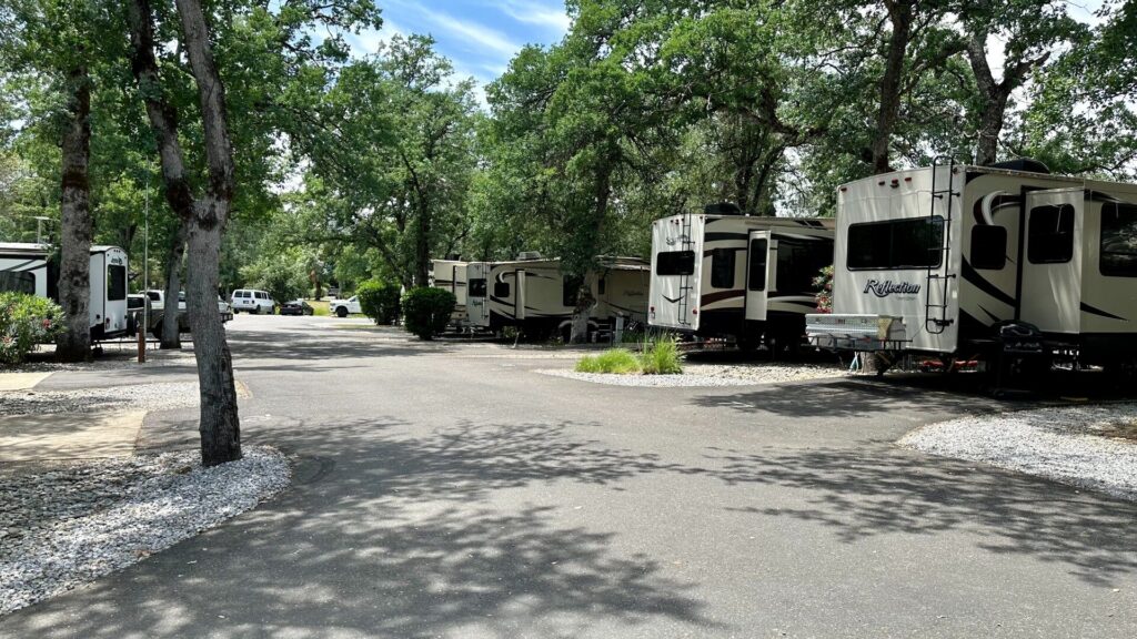
Boulder Creek RV Resort
Formerly Premier RV, with 65-ft pull-thrus, a pool and dog parks on Redding’s north side.
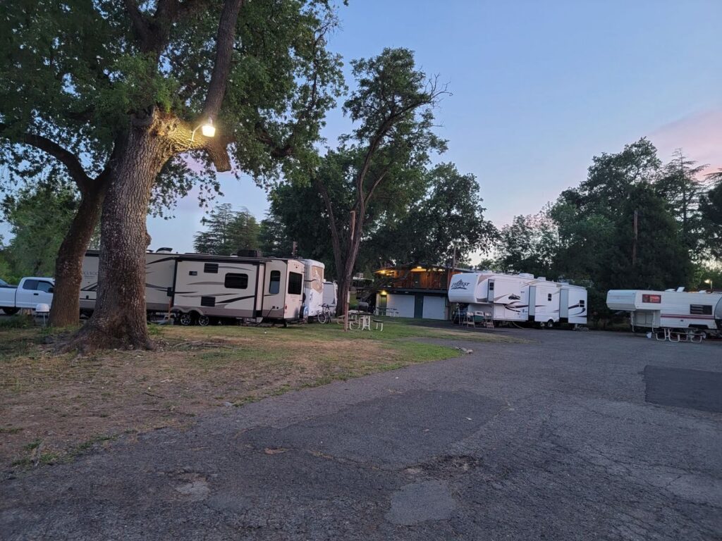
Marina RV Park
Riverside park on Park Marina Drive with 30-amp sites for rigs up to 40 ft, a pool, and nightly or monthly stays.
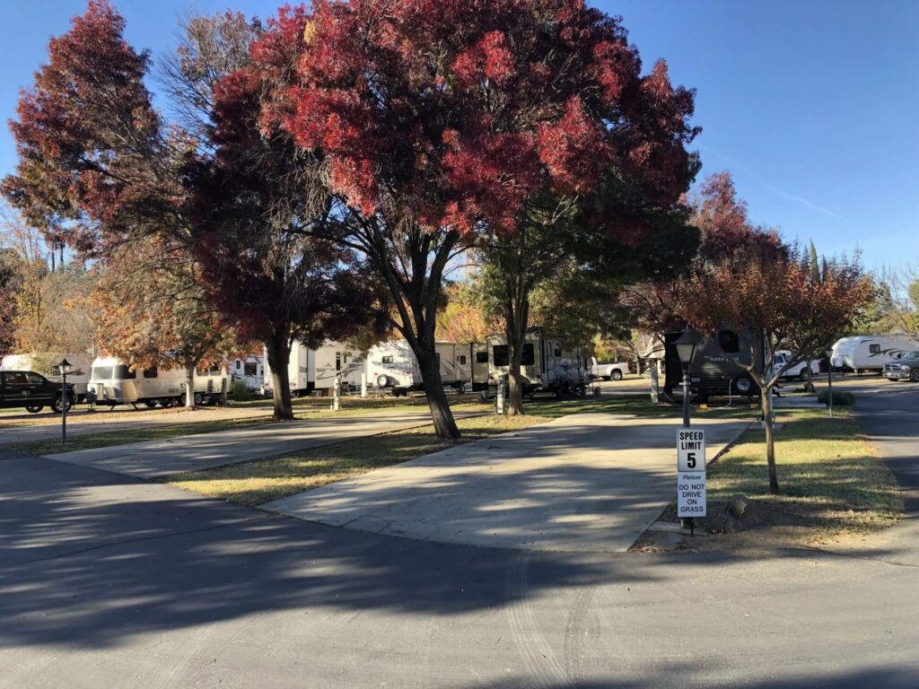
Green Acres RV Park
Concrete full-hookup sites, a pool and a dog park on Westside Road. Note that the park has no restrooms.
Helpful answers
Frequently asked questions
The questions RVers ask most before pulling in.
Free · Paved · Year-round
Ready to hit the river trail?
Park at Turtle Bay or Caldwell Park, start early in summer, and choose the 6-mile loop or the long ride toward Shasta Dam.
Thank you to the people behind these photos and this video. Please support them by giving their work a look. Photos: Jonmallard (trestles, Diestelhorst Bridge) under CC BY-SA 4.0, the Bureau of Land Management California (Rail Trail; public domain) and the Bureau of Reclamation (river below Keswick Dam) under CC BY-SA 2.0, via Wikimedia Commons; the images were resized. Video: Trails of California on YouTube. Review-site logos are trademarks of their owners.
Disclaimer
RV-Roundup is an independent, community-based resource created to help RV travelers and to support and promote the places we feature. RV-Roundup is not owned by, operated by, or officially affiliated with Sacramento River Trail unless otherwise stated.
The information on this page was prepared using the most current details available at the time of publication, including published materials from Visit Redding, the City of Redding, the Bureau of Land Management and Rails to Trails Conservancy. Trail conditions, closures and rules are set by the managing agencies and may change at any time without notice. Before you travel, please check current conditions with Visit Redding at visitredding.com or (530) 225-4100. RV-Roundup is not responsible for errors, omissions, or changes made after publication.
We will always do our best to keep this page up to date. Thank you to everyone who contributes; we truly appreciate your help and support.