
Durango · Animas River Greenway · Paved riverside trail
Animas River Trail
A paved shared-use path that follows the Animas River for nearly 7 miles through Durango, linking riverside parks, downtown and the public library. It is free to use and plowed in winter.
Opens the City of Durango’s Animas River Trail map (PDF). Park at a city park along the river; Santa Rita Park has the most room.
Details checked October 2026

Type
Paved river trail
Shared-use path for walking, biking and skating
Admission
Free to use
Public city trail; parking at city parks
Hours
Daily, until midnight
City parks close at midnight; plowed in winter
Time needed
As long as you like
Walk or ride any section, out and back
Parking
Lots at city parks
Santa Rita Park has the most room
Trail length
Nearly 7 miles
Paved, from 32nd Street to River Road
What you’ll see
Nearly 7 paved miles along the Animas
The trail runs from 32nd Street and East 3rd Avenue in north Durango to River Road south of Escalante Drive, passing parks, river access points, downtown and the library on the way.
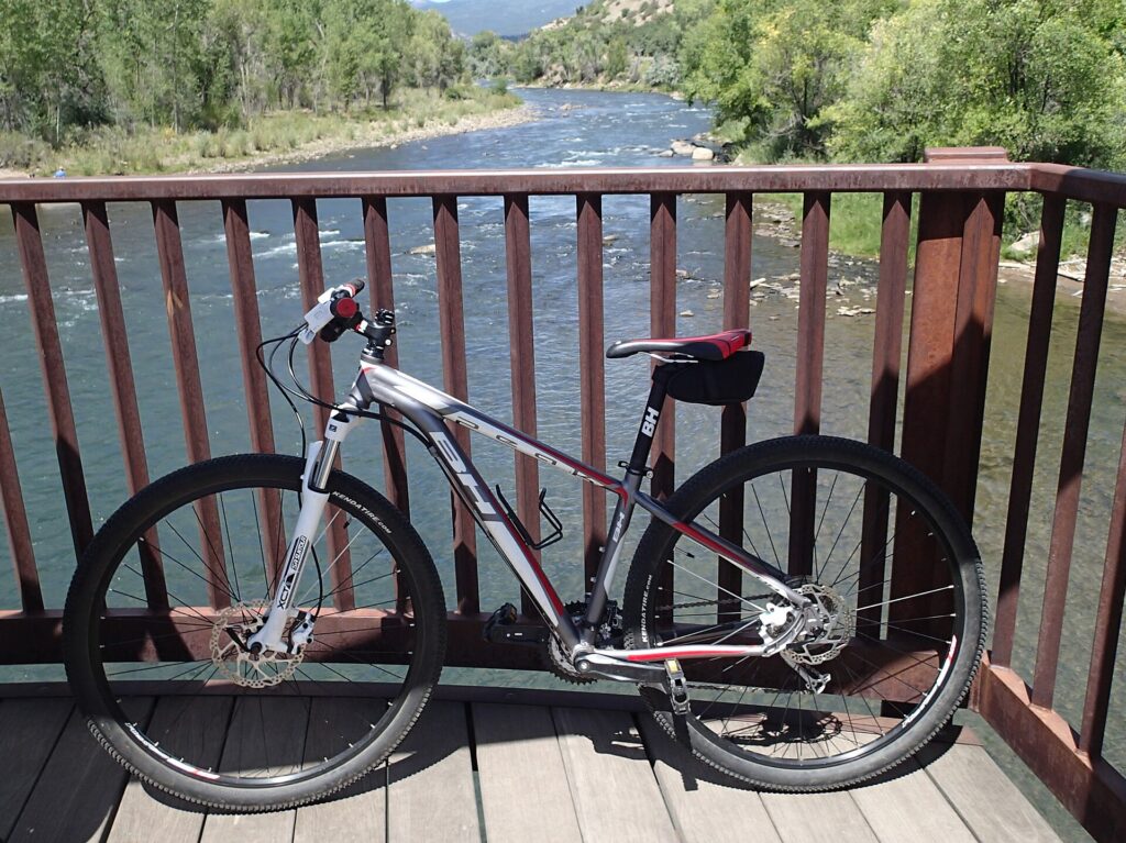
Photo: cogdogblog on Wikimedia Commons (CC BY 2.0)
Start here
Santa Rita Park and the Whitewater Park
Santa Rita Park, a 6.2-acre city park on the river in south Durango, is the easiest place to start. The city lists ample parking, restrooms open year-round, picnic shelters and direct access to the trail, and the Whitewater Park next door has engineered river features where kayakers and surfers play. From here the trail heads north along the river toward downtown, or south toward River Road.
RV tip: the city publishes no size limits for its park lots, so come in the tow vehicle or by bike.
More to see
- Fishing piersRiverfront Park and 29th Street Park have wheelchair-accessible fishing piers on the river, according to Visit Durango.
- Rotary Park gazeboA 1.87-acre riverside park at 1565 E. 2nd Avenue with a gazebo the local Rotary Club donated in 1982, picnic tables and restrooms open year-round.
- Memorial Park & The GuardianAt the north end, a 15.36-acre park with river access, shady cottonwoods and The Guardian, a rusted-metal sculpture by artist Mick Reber.
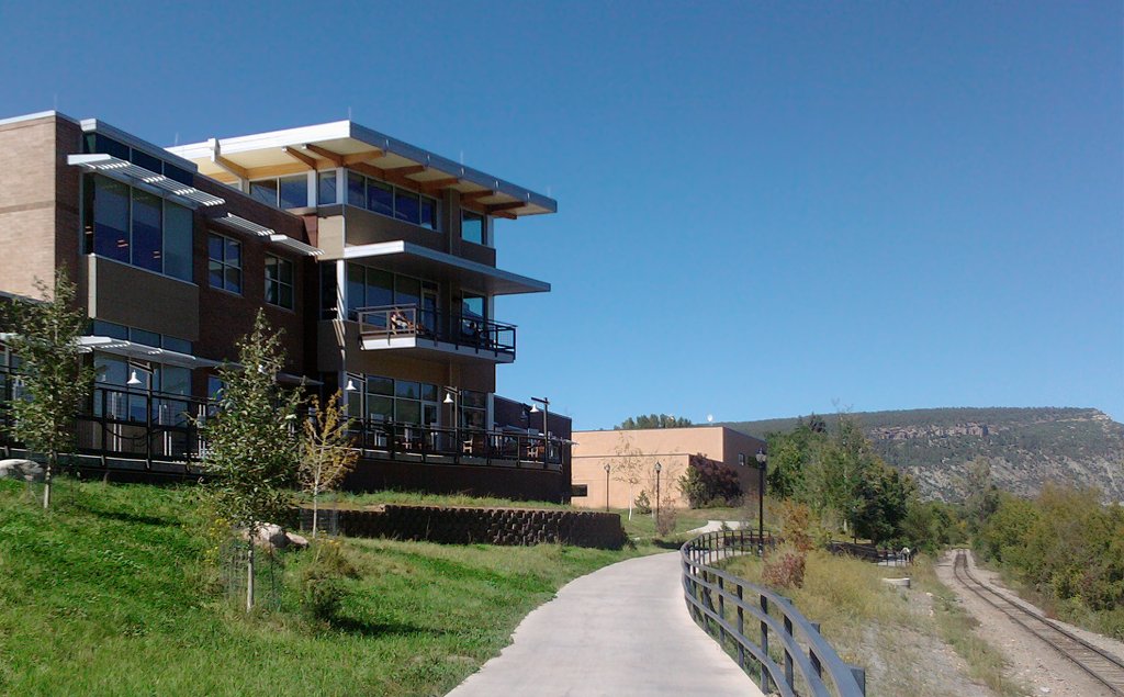
- The library and the railroadNear downtown the trail passes the Durango Public Library, with the Durango & Silverton Narrow Gauge tracks running alongside.
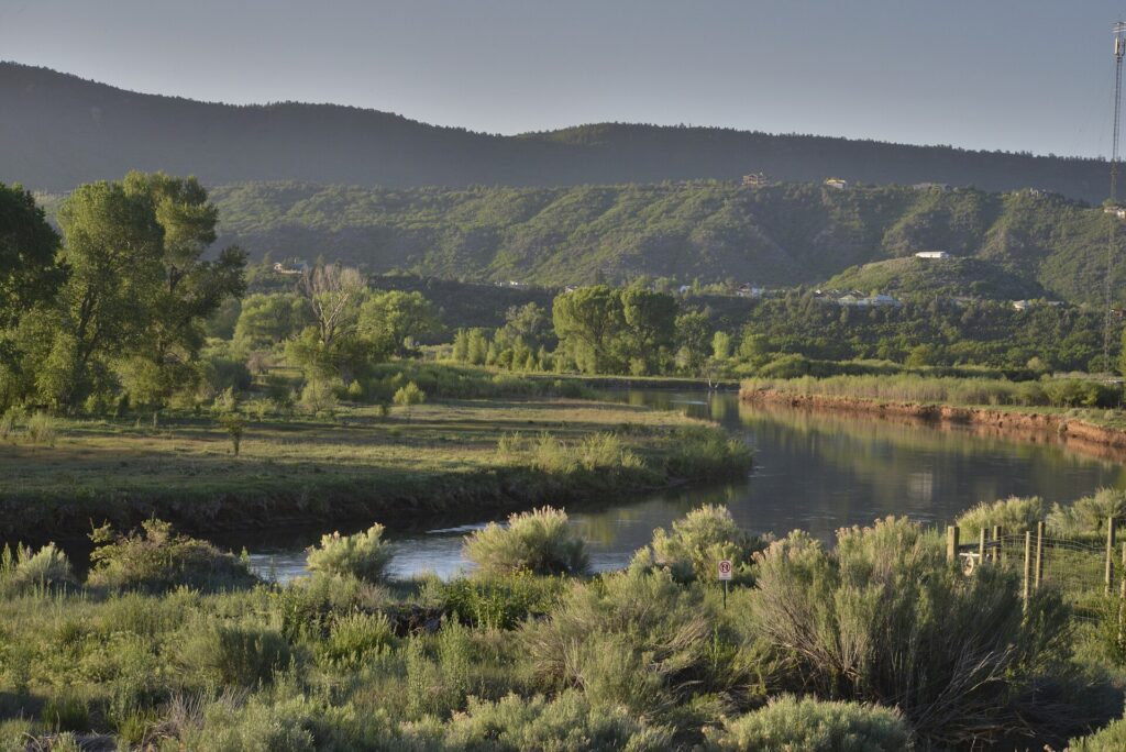
Why go
Durango’s riverside path for walkers and riders
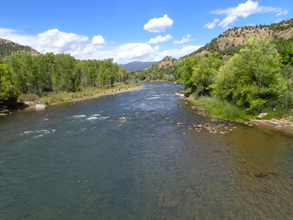
The City of Durango calls the Animas River Trail the centerpiece of its trail system. The hard-surface path stretches nearly 7 miles through the Animas River Greenway and ties together parks, open spaces, natural-surface trails, the recreation center, the public library and downtown. Locals use it to commute as much as to exercise, and the city says it is consistently rated as one of Durango’s top amenities.
For RVers it is an easy, flat-ish day out: Trails 2000 lists about 337 feet of gain over 7.1 miles. Leave the rig at camp, drive the tow vehicle to a riverside park, and walk or ride as far as you like. Bring the bikes, too; Class 1 and Class 2 e-bikes are allowed on the city’s hard-surface trails.
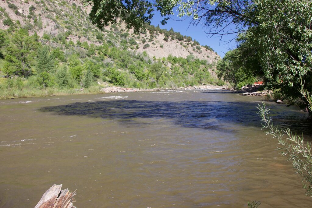
It works in every season. In fall the cottonwoods along the river turn, and in winter Visit Durango says the trail is plowed, which makes it a favorite for walkers and fat-tire bikers. In late October 2026, though, check conditions first: the October 23 flood sent the river over the trail below 32nd Street.

Photo: Mike McBey on Wikimedia Commons (CC BY 2.0)
Why it made our list
- Nearly 7 paved miles right through town
- Free, with parking at city parks
- Leashed dogs and e-bikes welcome
- Plowed in winter, per Visit Durango
- Year-round restrooms at two parks
For RVers
Visiting the trail from your RV park
The practical stuff we wished someone had told us before we pulled in.
Park at a riverside city park
The trail itself has no single trailhead lot; you park at the city parks along it. Santa Rita Park, at 149 S. Camino del Rio, has the most room. The city does not publish RV size limits for these lots, so leave the rig at camp and come in the tow vehicle, or call Parks and Recreation at (970) 375-7321.
Pick your access point
Trails 2000 lists access from Santa Rita Park, Schneider Park on Roosa Avenue, Memorial Park, Rotary Park at East 15th Street and East 2nd Avenue, the Durango Community Recreation Center at 2700 Main Avenue, and East 29th Street and East 3rd Avenue. Rotary and Santa Rita parks have restrooms open year-round.
Dogs, bikes and e-bikes
Dogs must be on a leash on all city trails, so bring bags and pick up after them. Class 1 and Class 2 e-bikes are allowed, but electric scooters, onewheels and motorized skateboards are not. Keep it under 10 mph, ring a bell or call out before passing, and yield to people on foot.
Late-October conditions
On October 23, 2026, the Animas peaked near 11,200 cubic feet per second in Durango and ran over the trail below 32nd Street. Stay off flooded or damaged sections and check with the city before you go. Restrooms at several parks, including Memorial and Schneider, close for the winter.
What visitors say about Animas River Trail
The visitor report card
We don’t copy other sites’ reviews, but the published scores are worth reading together. Scores checked October 24, 2026.
The centerpiece of the city’s trail system.
City of Durango, describing the Animas River Trail · durangoco.gov

What the trail is known for
From the City of Durango and Visit Durango
River viewsParks along the waySmooth pavementFishing piers
Visit Durango describes an even, smooth paved surface that winds over and under bridges, with river access, picnic shelters and accessible fishing piers along the way, and the city calls it one of Durango’s top amenities. Checked October 24, 2026.
How high the Animas ran on Oct. 23
River flow in cubic feet per second, from the Durango Herald’s October 23, 2026 flood coverage, which cites U.S. Geological Survey gauge data. High water can cover the lowest stretches of the trail.
Good to know
Using the trailFree public city trail
DogsLeashed pick up after them
SpeedUnder 10 mph city hard-surface trails
Allowed on the trailWalking & runningBikesClass 1–2 e-bikesSkates
Rules from the City of Durango’s trail etiquette and e-bike pages, checked October 24, 2026.
Know before you go
Plan your visit
Animas River Trail
- Main accessSanta Rita Park, 149 S. Camino del Rio, Durango, CO 81301
- HoursDaily, until midnight
City parks close at midnight; plowed in winter - Phone(970) 375-7321
- Trail mapCity trail map (PDF) and trails page
- Getting thereFrom downtown, head south on Main Avenue, turn right on College Drive, then left on Camino del Rio. Go about 0.85 mile to the light at Santa Rita Drive and turn right into the park.
- ParkingLots at city parks along the river, including Santa Rita, Schneider, Memorial and Rotary parks. No published RV size limits.
Sections can close for construction, high water or storm damage. The city is rebuilding older stretches in phases to a 10-foot-wide concrete standard with lighting, so watch for posted detours, and call Parks and Recreation if you are unsure.
Where to stay nearby
RV parks near Animas River Trail
These are Durango parks we have written up. All three are a short drive from the river parks, so any of them works as a base for a day on the trail.
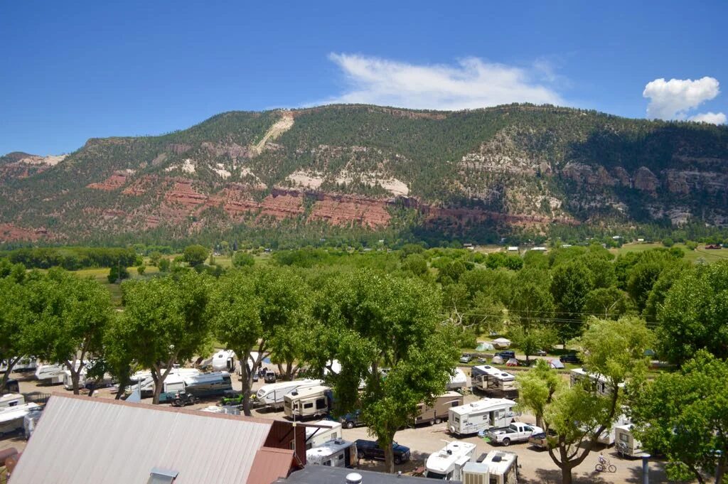
United Campground of Durango
A long-running family campground at the north edge of town, where the narrow-gauge steam train rolls right through. Closest to the trail’s north end at 32nd Street.
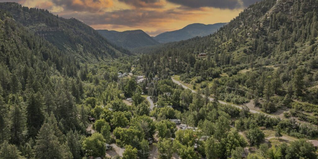
HTR Durango Campground
Wooded creek and canyon sites in a quiet box canyon west of town, with full hookups and a seasonal pool. An easy drive to Santa Rita Park.

Durango RV Resort
A big family park east of town, formerly Oasis RV Resort, with a heated pool, pickleball and full-hookup pull-thrus. US-160 leads straight to the south end of the trail.
Helpful answers
Frequently asked questions
The questions RVers ask most before pulling in.
Open year-round · Plowed in winter
Ready to roll along the river?
Grab the city trail map, park at Santa Rita Park, and pick a stretch of the river to walk or ride.
Thank you to the people behind these photos and this video. Please support them by giving their work a look. Photos: cogdogblog (bike on the bridge and river view; CC BY 2.0), McGhiever (public library; CC BY-SA 3.0), Ahodges7 (north of downtown; CC BY-SA 3.0), Mike McBey (fall color upriver; CC BY 2.0) and the U.S. Environmental Protection Agency (Santa Rita Park; public domain), via Wikimedia Commons; the images were resized. Video: SoCal Van Life on YouTube. Review-site logos are trademarks of their owners.
Disclaimer
RV-Roundup is an independent, community-based resource created to help RV travelers and to support and promote the places we feature. RV-Roundup is not owned by, operated by, or officially affiliated with Animas River Trail unless otherwise stated.
The information on this page was prepared using the most current details available at the time of publication, including the City of Durango’s published materials and publicly available sources. Hours, rules, closures and other details are set by the city and may change at any time without notice. Before you travel, please confirm all details directly with the City of Durango Parks and Recreation Department at durangoco.gov or (970) 375-7321. RV-Roundup is not responsible for errors, omissions, or changes made after publication.
We will always do our best to keep this page up to date. Thank you to everyone who contributes; we truly appreciate your help and support.