
Lake Okeechobee · Herbert Hoover Dike · 110-mile trail loop
Lake Okeechobee Scenic Trail
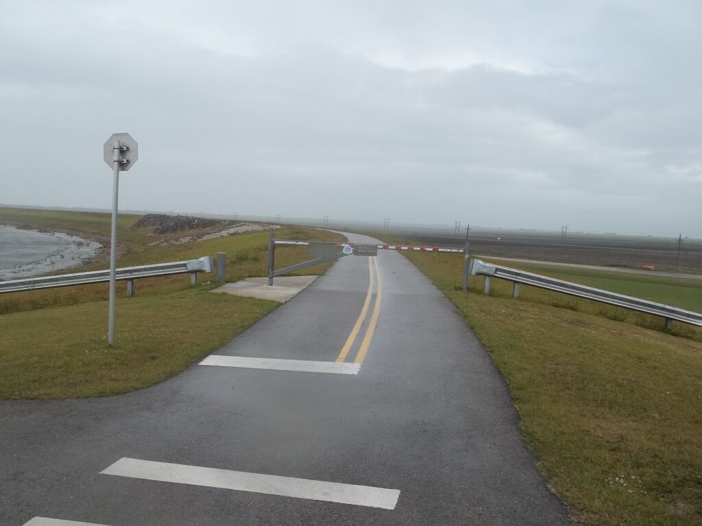
Walk, bike or ride the top of the 35-foot Herbert Hoover Dike for big-sky views over Florida’s largest lake. It is free, open year-round, and reachable from the recreation areas that ring Lake Okeechobee.
Opens the Army Corps of Engineers’ trail page with access-point maps. No fees or permits are required.
Details checked October 2026
Type
Multi-use trail
Walk, bike, skate or ride horses atop the dike
Admission
Free
No fees or permits. Hunting is not allowed on the trail.
Hours
Open year-round
Daylight hours are best; the dike has no lights and no shade.
Time needed
1–3 hours
Our estimate for an out-and-back; the full loop is a multi-day ride
Parking
Trailhead lots
Lake Okeechobee Park has a lot, restrooms and a ramp onto the dike
Trail length
About 110 mi
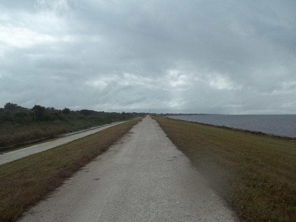
More than half paved; the rest two-track gravel
What you’ll see
A 110-mile loop above Florida’s big lake
The whole trail sits on top of the dike, so you pick a trailhead, go as far as you like, and turn around.
Start here
The north-shore section from Lake Okeechobee Park
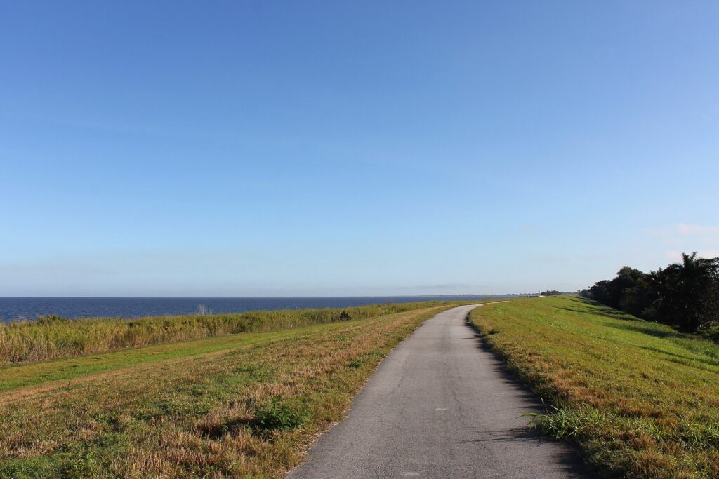
The easiest first taste is in the City of Okeechobee. Park at Lake Okeechobee Park, the Florida Trail trailhead at 2029 US-441, roll up the long accessibility ramp, and you are on pavement with the open lake on one side and the rim canal on the other. From here it is about 3 miles east to Taylor Creek and about 7 miles west to the Kissimmee River at Okee-Tantie, which has restrooms and a picnic area at the far end.
RV tip: there is no shade anywhere on the dike, so start early, carry more water than you think you need, and check the wind. Ride out into a headwind and the trip home is the easy half.
More to see
- Port Mayaca to PahokeeThe east shore runs lakeside on pavement with some of the trail’s best open-water views. The 61-mile Ocean to Lake Hiking Trail from Hobe Sound ends at the LOST trailhead about 2.5 miles south of Port Mayaca.
- Moore Haven to ClewistonA wide, smooth paved run of about 12 miles between Alvin Ward Park in Moore Haven and Clewiston, with a lunch stop in America’s Sweetest Town before you turn around.
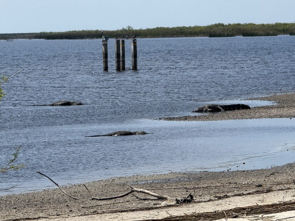
- Birds and gatorsThe rim canal beside the trail draws herons, egrets, limpkins and sandhill cranes, and alligators are a near-certainty. Okee-Tantie and Lake Okeechobee Park are both stops on the Great Florida Birding Trail.
- Camping on the trailThe Corps lists 14 camping areas on or beside the trail for Florida Trail through-hikers and bikepackers. The Palm Beach County sites at Pahokee, Belle Glade and South Bay are no more than 10 miles apart.
Why go
Florida’s biggest lake, seen from the only high ground around
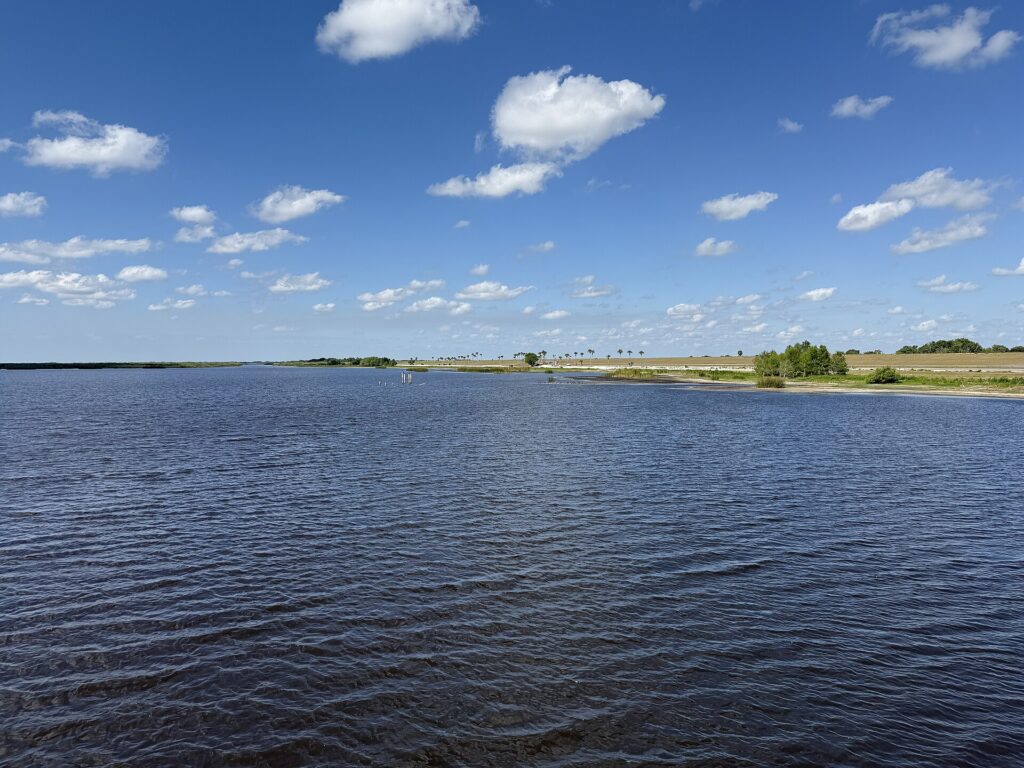
Lake Okeechobee covers about 730 square miles. It is the largest lake in Florida and the second-largest freshwater lake entirely within the United States, yet from the roads you can barely see it, because the Herbert Hoover Dike hides it. The Army Corps of Engineers raised the dike after the deadly hurricanes of 1926 and 1928 and enlarged it again in the 1960s. The trail along its crest, designated part of the Florida National Scenic Trail in 1993, is how you finally get a look at the water.
For RVers the appeal is that the lake comes to you. The north-shore trailhead at Lake Okeechobee Park sits a few minutes from a cluster of RV parks on US-441, and the dike runs right behind several of them, so a morning ride can start from camp. Access is free, there is no permit, and you can turn around whenever the heat says so.
Winter is the season. The cooler, drier months from roughly November through March bring the snowbirds, the wading birds and the sandhill cranes, and they are the only time a long stretch of open levee is comfortable. In any month there is almost no shade and few places to buy water, so treat even a short outing like a desert hike.

Photo: Ebyabe on Wikimedia Commons (CC BY-SA 3.0)
Why it made our list
- Free, with no permit or reservation
- Trailhead 3 minutes from the Okeechobee RV parks
- About 110 miles of trail, more than half of it paved
- Big-sky lake views from 35 feet up
- Herons, cranes and gators along the rim canal
For RVers
Riding the dike from camp
The practical stuff we wished someone had told us before we pulled in.
Park at a real trailhead
Lake Okeechobee Park, off US-441 in Okeechobee, has a paved lot, restrooms, a fishing pier and a long ramp onto the dike. Okee-Tantie at the Kissimmee River and Alvin Ward Park in Moore Haven also have lots and restrooms. Many other dike access points are gated turnouts with tight bike chicanes, so a trailer or big rig belongs in a park lot, not on an access road.
Plan around sun, wind and water
The top of the dike has no shade, no lights and long gaps between supplies, and wind is the variable riders talk about most. Go early, carry water for the whole trip, and head out into the wind so the return is the easy leg.
Pets and wildlife
Dogs are welcome on a leash. Alligators sun along the rim canal and the lake edge, so keep pets and kids well back from the water and never feed wildlife. There are no trash cans on the dike, so carry everything out, and on hot days leave pets at camp rather than in a parked rig.
Gates and closures
The Corps closes sections of the trail for dike maintenance and after storms, and a few gates do not fit a bike through. Check the Corps’ trail page or call (863) 983-8101 before you drive to an outlying trailhead, especially late in hurricane season.
What visitors say about Lake Okeechobee Scenic Trail
The visitor report card
We don’t copy other sites’ reviews, but the published scores are worth reading together. Scores checked October 25, 2026.
Scenic vistas of the lake.
U.S. Army Corps of Engineers, on the view from the dike · saj.usace.army.mil


What visitors often mention
Recurring themes in Google’s review topics
QuietLake viewsScenery
Google’s review topics point to how quiet the trail is (9 reviews), the lake itself (4) and the scenery (4), with birding, fishing, sunset views and bugs each coming up a couple of times. Checked October 25, 2026.
How far you’ll go
Section lengths from 100 Florida Trails and the Glades County trail guide; the loop figure is the Corps’. Everything is out-and-back unless you arrange a shuttle, so double the number you pick.
Good to know
Trail useFree no permit needed
DogsLeashed pack out waste
Camping14 areas primitive, on or beside the trail
BringWaterSun protectionBug spray
Rules from the Army Corps of Engineers’ trail page, checked October 25, 2026. Hunting is not allowed on any section of the trail. The leash rule and pack-it-out policy come from trail guides rather than the Corps page, so expect them to be enforced and don’t test the gators.
Know before you go
Plan your visit
Lake Okeechobee Scenic Trail
- Address2029 US-441 (Lake Okeechobee Park), Okeechobee, FL 34972
- HoursOpen year-round
Daylight hours are best; the dike has no lights and no shade. - Phone(863) 983-8101
- Trail infoCorps trail page with access-point maps
- Getting thereIn the City of Okeechobee, follow US-441 (US-98) south toward the lake. Lake Okeechobee Park and the trailhead are on the lake side of the highway near the SR-78 junction, about 3 minutes from the US-441 RV parks.
- ParkingPaved lot at Lake Okeechobee Park with restrooms and a fishing pier. Other lots at Okee-Tantie, Nubbin Slough, Port Mayaca, Pahokee, Belle Glade, South Bay, Clewiston and Moore Haven.
Sections close for dike work and after storms. Check the Corps’ trail page or call before you drive to an outlying trailhead; the Florida Trail Association’s online maps show current detours.
Where to stay nearby
RV parks near Lake Okeechobee Scenic Trail
These are the Lake Okeechobee parks we have visited and written up. The three below sit along US-441 within a few minutes of the Lake Okeechobee Park trailhead, and the dike runs right behind the highway.
Okeechobee KOA Resort
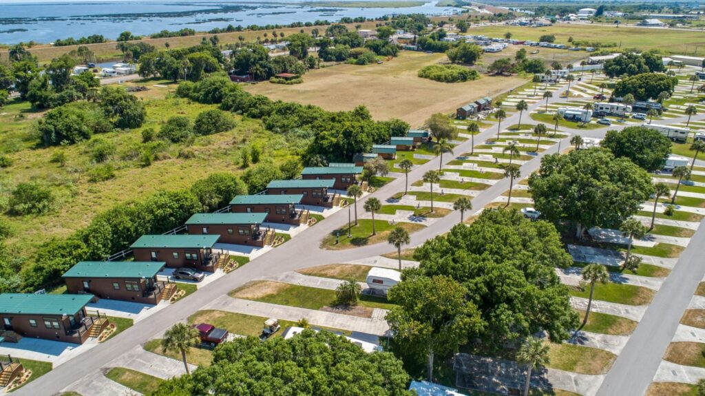
Big resort a mile from the trailhead, with a 9-hole golf course, pools and big-rig sites on US-441.
Silver Palms RV Resort
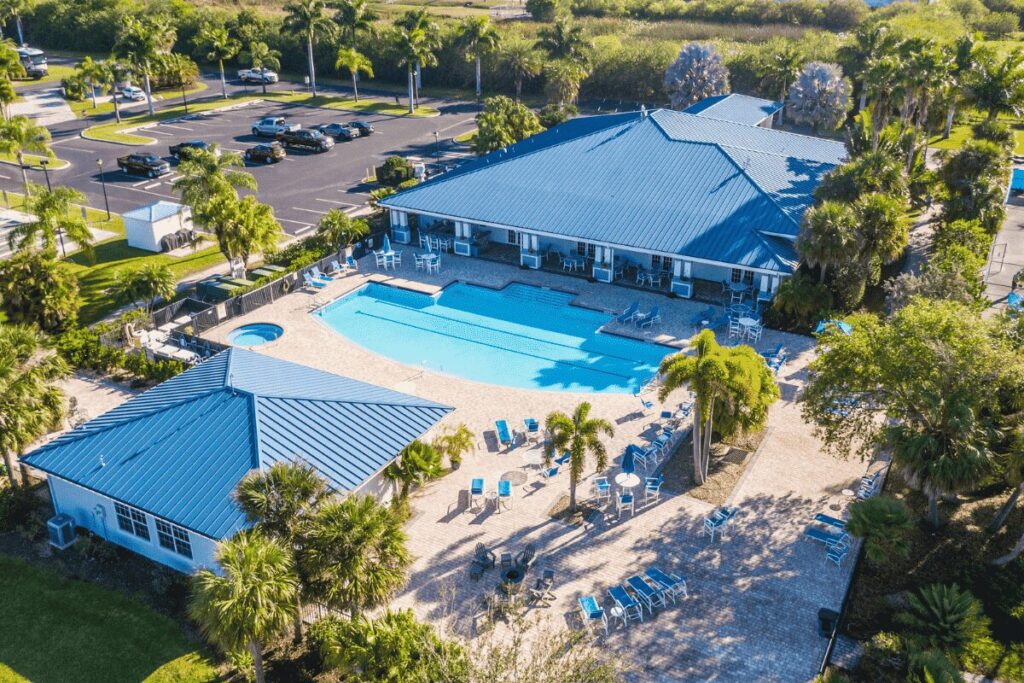
Upscale resort a mile down US-441 from the park, with a heated pool, clubhouse and paved sites.
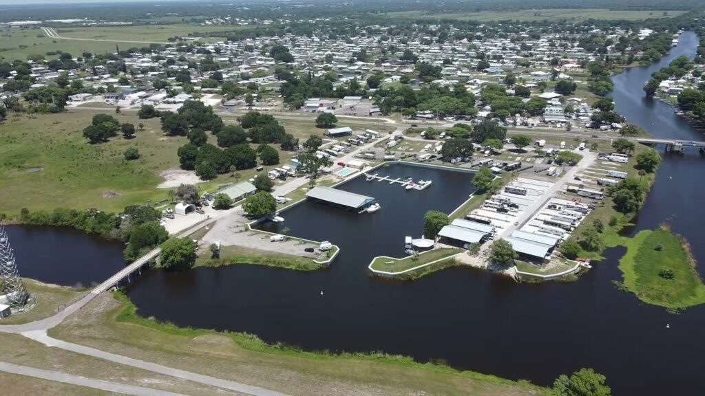
Taylor Creek RV Resort + Marina
Canal-front sites with boat docks on Taylor Creek; the dike trail runs right past the resort.
Helpful answers
Frequently asked questions
The questions RVers ask most before pulling in.
Open year-round · daylight hours
Ready to ride the dike?
Park at Lake Okeechobee Park, roll up the ramp, and give yourself a cool morning on top of Florida’s big lake.
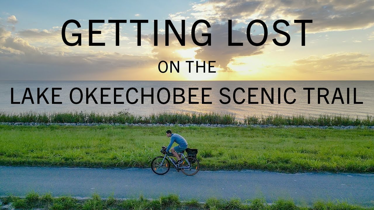
Thank you to the people behind these photos and this video. Please support them by giving their work a look. Photos: RicoRico (the trail at Pahokee; CC BY 4.0), Dough4872 (the park pier and the alligators; CC BY-SA 4.0) and Ebyabe (Port Mayaca, Rardin Park and the Why go lake view; CC BY-SA 3.0), via Wikimedia Commons; the images were resized. Video: Jacob’s Ladder on YouTube (riding the loop in one day). Review-site logos are trademarks of their owners.
Disclaimer
RV-Roundup is an independent, community-based resource created to help RV travelers and to support and promote the places we feature. RV-Roundup is not owned by, operated by, or officially affiliated with Lake Okeechobee Scenic Trail unless otherwise stated.
The information on this page was prepared using the most current details available at the time of publication, including the Army Corps of Engineers’ published materials and publicly available sources. Hours, access, rules and other details are set by the Corps and the local parks and may change at any time without notice. Before you travel, please confirm all details directly with Lake Okeechobee Scenic Trail at saj.usace.army.mil or (863) 983-8101. RV-Roundup is not responsible for errors, omissions, or changes made after publication.
We will always do our best to keep this page up to date. Thank you to everyone who contributes; we truly appreciate your help and support.